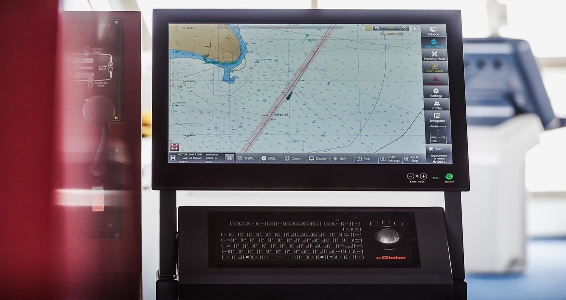
Water depths, Land heights, coastside details, natural features of the seabed, loctions of navigation aids, as well as information on tides and currents, are all essential for a safe and secure navigation. Sphinx Marine provides Nautical charting of printed and electronic information.
Wherever you sail, your Latest yearly updated charts edition is always available at Sphinx Marine with our complete portfolio of digital charts on 3 Months and 12 Months basis meeting the needs of fleet managers and professional mariners.


